Chinese satellites join relief efforts after Xinjiang quake


BEIJING -- China has applied its Gaofen series satellites to help with the relief work following a 7.1-magnitude earthquake in Northwest China's Xinjiang Uygur autonomous region, said the China National Space Administration (CNSA) on Tuesday.
Satellites including Gaofen 4 and Gaofen 1 families were deployed to capture images of the quake-hit areas. The remote sensing images of the earthquake hit areas will be instantly shared to the emergency departments for damage analysis, said the agency.
The CNSA will continue to mobilize civil satellites to support disaster prevention and relief efforts, and provide spatial information support for disaster monitoring and decision-making, it added.
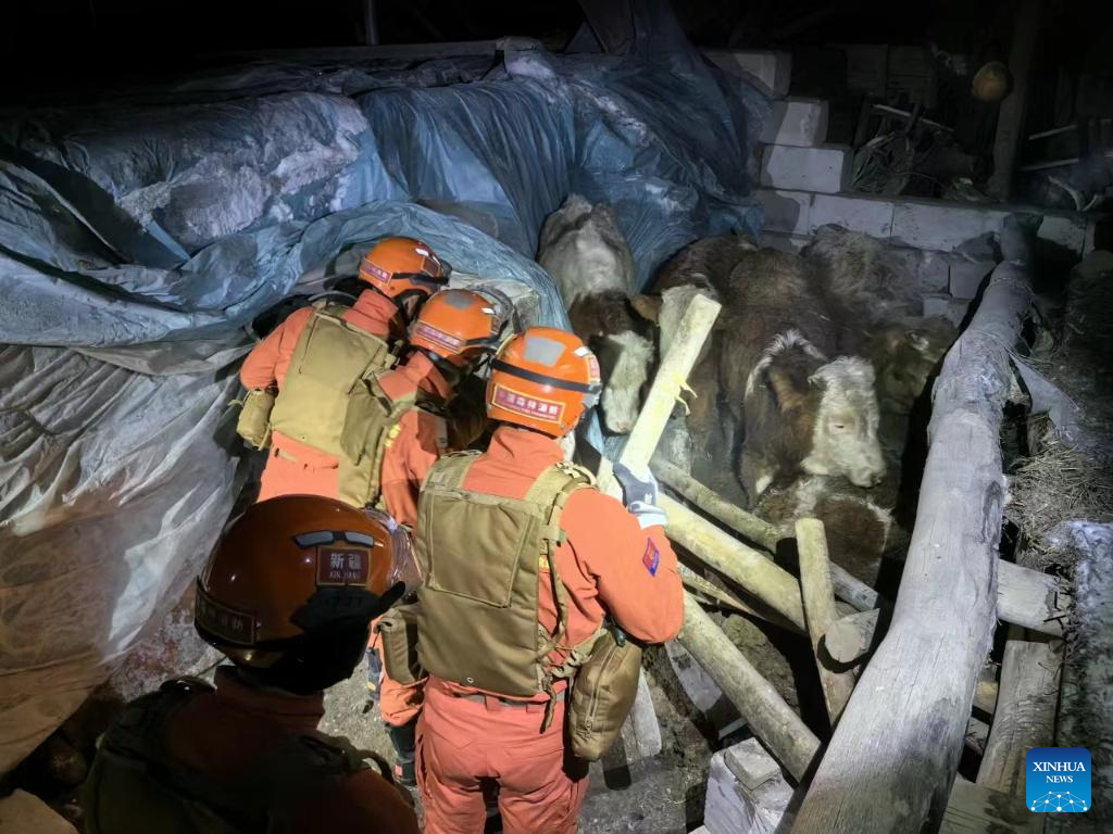
Three people have been killed and five others injured in the earthquake that jolted Wushi county in Aksu Pprefecture of Xinjiang at 2:09 am Tuesday (Beijing Time).


- Xinjiang to use geographical advantage to expand opening-up
- AI set to transform high-speed rail, adviser says
- Shanxi strengthens Yellow River basin governance
- Shenzhen park adjusts lighting for migratory birds
- Chinese airlines resume Middle East flights amid regional tensions
- Draft law will provide direction for further promotion of ethnic unity